![An Australian Government Initiative [logo]](/images/austgovt_brown_90px.gif)

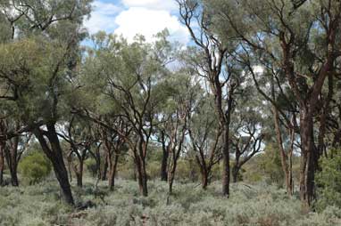 Acacia woodland dominated by Acacia cambagei with chenopod understorey, Burke, NSW |
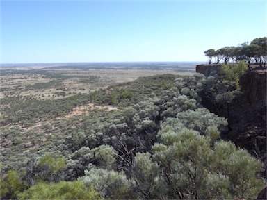 Acacia woodlands, dominated by Acacia aneura from top of mesa, near Blackall, Qld |
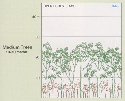
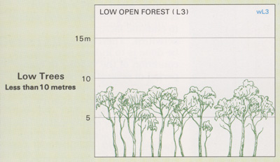
Foliage cover of tallest stratum 30 - 70% |
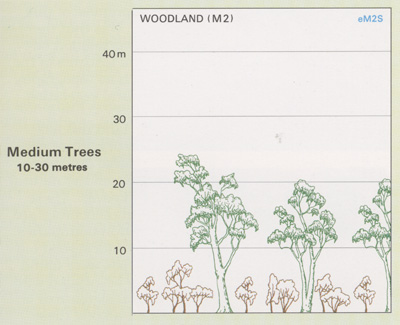
Acacia Forests and Woodlands
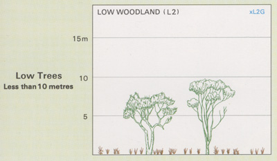
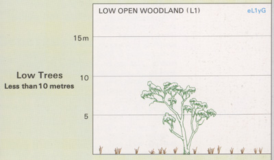
- Trees are generally stunted (often less than
10m) but in some areas can grow to heights
of 25m.
- Dominant species include Acacia shirleyi (Lancewood), A. catenulata (Bendee),
A. aneura (Mulga), A. cambagei (Gidgee),
A. harpophylla (Brigalow), A. papyrocarpa (Western Myall) and A. melanoxylon (Blackwood). The most widespread
species are Mulga and Brigalow.
- Climatic conditions are generally dry, hot summers with cool to warm winters.
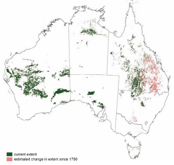
The mulga and brigalow communities of eastern Australia have been extensively cleared for grazing and agriculture. Mulga communities in the arid interior have not been cleared to the same degree. Many areas have been modified by the grazing of cattle/sheep and feral animals, and increased macropod populations supported by access to water from bores.
![]() Photos from the Australian Plant Image Index
Photos from the Australian Plant Image Index
Sources: Australia's Native Vegetation - from rainforest to spinifex, map and information poster produced by the National Land & Water Audit, Natural Heritage Trust, Australian Government, 2001
Australia's Native Vegetation - A summary of Australia's Major Vegetation Groups, 2007, Australian Government website
https://www.environment.gov.au/system/files/resources/a9897cf2-9d38-4201-bea2-13dadf3af9a8/files/major-veg-summary.pdf
Structure diagram: Atlas of Australian Resources - Vol. 6, Vegetation,
AUSLIG, Canberra, 1990